

Loving Life Having Fun

New Mexico Adventures – Loving Life Having Fun

New Mexico landscape
New Mexico

New Mexico Adventures – Loving Life Having Fun

La Ventana Natural Arch, Grants, New Mexico

Map

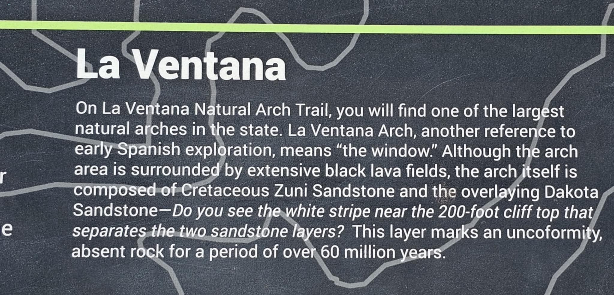
La Ventana — Spanish for "the window" — sits inside El Malpais National Conservation Area just outside Grants, New Mexico, where ancient lava flows and Cretaceous Zuni Sandstone share the same landscape. The arch itself is one of the largest natural arches in New Mexico, carved over millions of years by freeze-thaw cycles working through the sandstone bluffs that rise above the black basalt fields. The geology here is the kind that makes you stop and do the math — lava that young sitting next to rock that old, all in the same frame.

The campsite at the La Ventana trailhead is one of those rare finds: free, dispersed, right at the base of the canyon, with the arch visible from the picnic table. Joe and Zero had the place to themselves under a stormy sunset sky, which is exactly the kind of evening that makes you forget you were ever anywhere else. The Brinkley fit without issue and the setting was worth every mile to get there.

The hike in is short — under a mile — but the arch earns its reputation the moment you round the canyon wall and it opens up in front of you. The span is massive, the sandstone glows warm in afternoon light, and the junipers lining the canyon floor give it a scale that photos don't quite capture. You look up at it and you understand why people have been making the trip out here for a long time.

El Malpais is one of those places that doesn't get the same traffic as the big-name parks, which means you often have it to yourself. La Ventana Natural Arch, Grants, New Mexico. LOVING LIFE HAVING FUN in the window.

La Ventana Natural Arch, Grants, New Mexico · 12 photos

Showing 4 of 12 photos

Route 66 Casino Hotel, Albuquerque, New Mexico

Map

Route 66 Casino Hotel sits right off I-40 on the west side of Albuquerque — Laguna Pueblo land, Historic U.S. 66 country, and the kind of stop that makes a long drive day feel like it was worth it. The marquee sign alone earns a photo. You're in New Mexico, you're on the Mother Road, and the casino is right there when you pull in.

The RV resort here is worth knowing about. Full hookups, plenty of room for a 40'+ rig like the Brinkley without any of the usual squeeze-and-pray parking situation, and the whole setup is clean and well-run. If you didn't feel like making the five-minute walk to the casino floor, there's a shuttle. A shuttle. From your RV. That's the kind of detail that makes a campground a destination.

The Pub Lounge is exactly the kind of place you want to land after a long drive day. Classic Route 66 vibes, stained glass panels, tap handles, cold drinks, and a bar scene that doesn't feel like an afterthought. It's the real thing — the kind of bar that earns its own paragraph.

Route 66 Casino Hotel, Albuquerque, New Mexico. LOVING LIFE HAVING FUN on the Mother Road.

Route 66 Casino Hotel, Albuquerque, New Mexico · 4 photos

Ute Lake State Park, Logan, New Mexico

Map

Ute Lake State Park sits in the high plains of eastern New Mexico outside Logan, and the views here are the kind that stop you mid-sentence. The lake stretches wide and flat under a sky that goes on forever — dramatic cloud formations, crepuscular rays punching through storm systems, sunsets that turn the reeds pink and purple and then just keep going. It is one of those places that photographs itself.

For RV travelers, Ute Lake State Park is worth knowing about. The Brinkley Z3400 fit at site Y42 without any of the usual big-rig anxiety — plenty of room, no tight turns, no holding your breath. Hookups are water and electric only, no sewer, but there is a dump station right on your way out. Clean, easy, and the park itself is well-run. Logan takes pride in this place and it shows.

We kayaked, we swam, we walked the nature trails through dense tamarisk canopy, and Reecee and Zero were in the water every single day. The Pecos River chain feeds this lake and the whole area has a quiet, unhurried energy that is hard to find. No crowds, no noise, just the water and the sky and whatever you brought with you.

Ute Lake State Park, Logan, New Mexico. LOVING LIFE HAVING FUN on the Pecos River chain.

Ute Lake State Park, Logan, New Mexico · 31 photos

Showing 4 of 31 photos

Billy the Kid Museum, Fort Sumner, New Mexico

Map

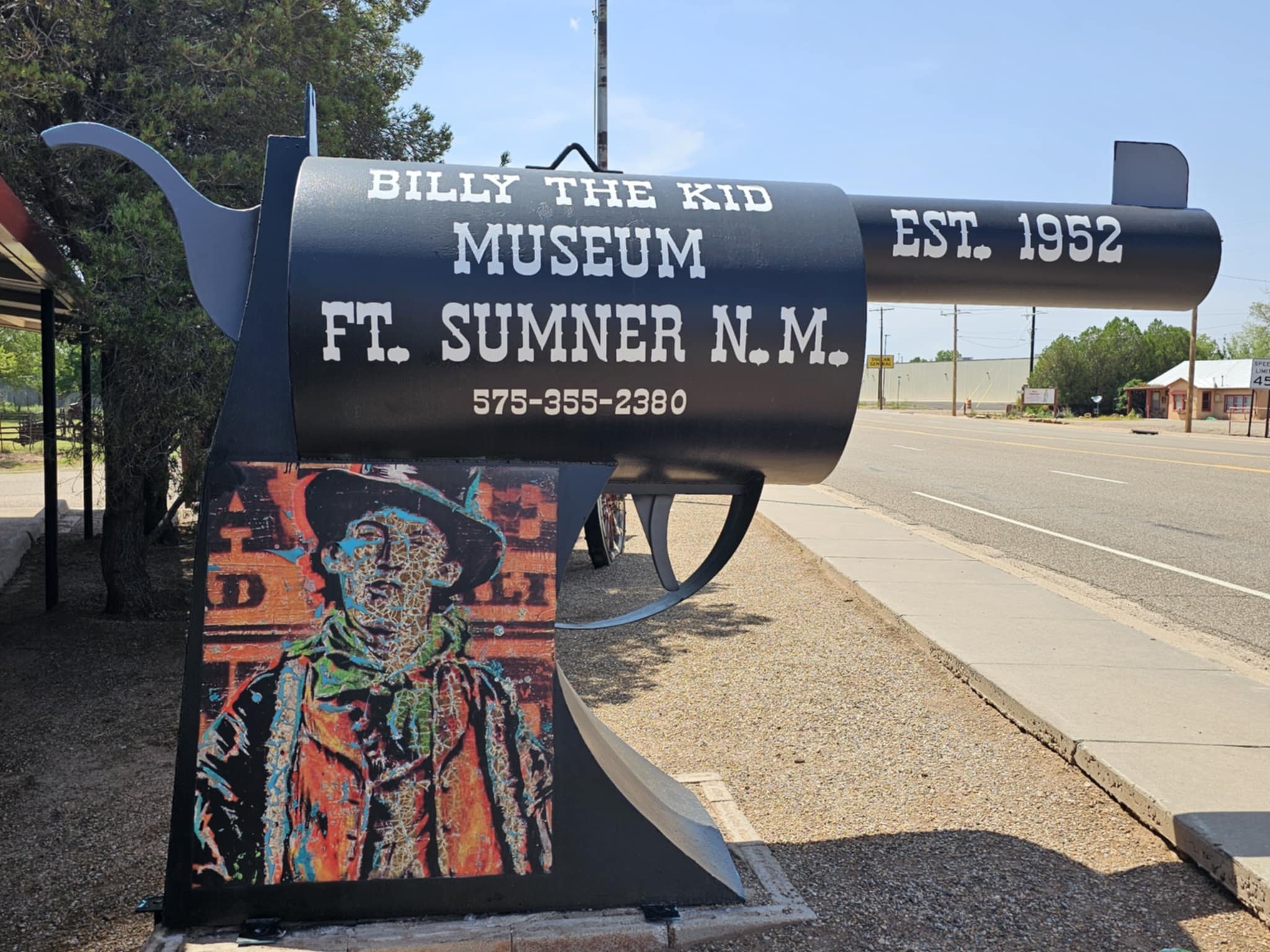
Sheriff Pat Garrett shot Billy the Kid right here in Fort Sumner on July 14, 1881. That is not a detail you read on a sign and move on from. You stand at the iron cage enclosing the Pals tombstone — Billy, Tom O'Folliard, Charlie Bowdre — and you feel the weight of it. The cage is there because the tombstone has been stolen twice. That tells you everything about how seriously this town takes its most famous resident.

The Billy the Kid Museum is one of the most surprisingly packed small-town museums in the Southwest. The firearms wall alone is worth the stop — floor-to-ceiling glass cases of frontier-era revolvers and rifles, each one labeled. Then there is the Victorian funeral hearse, the 1950 Kaiser Manhattan, the Model T delivery truck with the museum's name painted on the side, the ornate reed organ, the stagecoach, the covered wagons, and the full story of the Lincoln County War told through tintype photos and handwritten documents. The only known photograph showing both Billy and Pat Garrett together is in there. You will spend more time than you planned.

Sumner Lake is just down the road and worth the detour — a wide blue reservoir on the Pecos River with red bluffs, cottonwood trees, and a dam spillway that earns its own photo. The whole area has a quiet, unhurried energy that feels exactly right for a place where history settled this permanently.

Billy the Kid Museum, Fort Sumner, New Mexico. LOVING LIFE HAVING FUN in the land of Billy the Kid.

Billy the Kid Museum, Fort Sumner, New Mexico · 64 photos

Showing 4 of 64 photos

Meow Wolf Art City, Las Vegas, New Mexico

Map

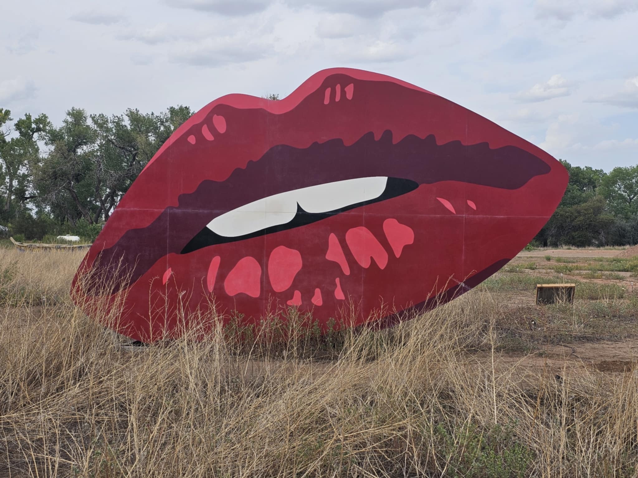
Art City sits on a flat stretch of New Mexico desert outside Fort Sumner, and the first thing you see at dawn is the giant red lips sculpture rising out of the scrub like it has always been there. Then you start walking and the scale of the place hits you — a tire-built T-Rex with glowing red eyes, a Gothic cathedral on insect legs towering above the cottonwood canopy, a Museum of No Spectators, a disco ball hanging from a tree branch, floating boulders on steel posts, a steel corridor of Celtic-knot gates, and a surreal face sculpture called The Mind's Eye that you will not stop thinking about.

This is not a roadside attraction. It is a full-scale outdoor art installation built over years by artists who clearly had no interest in making anything small or safe. The Fearbeast alone — a hulking tire creature with a tiny silver human figure standing before it — is worth the detour from anywhere in the state.

The grounds are open limited hours, free to walk, and completely unlike anything else in New Mexico. Joe and Tina had the place mostly to themselves in the early morning light — Zero and Reecee leading the way through every sculpture, every corridor, every corner of the grounds. This is one of the rare outdoor art destinations that is fully dog-friendly, and the dogs treated it with exactly the reverence it deserved: nose-first and at full speed.

Meow Wolf Art City, Las Vegas, New Mexico. LOVING LIFE HAVING FUN at the most unexpected art installation in the Southwest.

Meow Wolf Art City, Las Vegas, New Mexico · 43 photos

Showing 4 of 43 photos

Roswell, New Mexico

Map

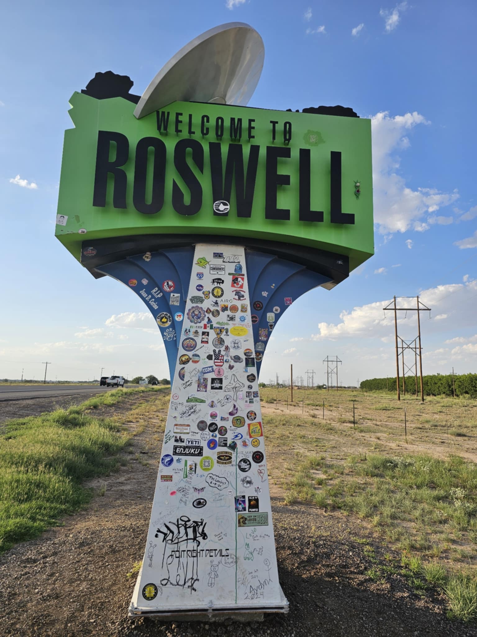
Roswell is fully committed to the bit, and we respect it completely. Alien street lamps line the downtown sidewalks. Green alien footprints are painted on the pavement. The McDonald's is shaped like a flying saucer. The International UFO Museum is packed with dioramas, cryo tubes, crash site recreations, and every conspiracy theory you can imagine — including the only known photograph showing both Billy the Kid and Pat Garrett together, which somehow ended up here too.

The UFO Spacewalk blacklight attraction next door is genuinely unhinged in the best way. Blacklight alien skulls, a Mars Attacks! soldier with a glowing brain helmet, a plasma ball you can touch, a gray alien bartender at the Alcoholic Analysis bar, and a caged demon that Joe and Tina discovered at close range. It is chaotic and weird and completely worth the five dollars.

We spent a full day leaning into every single bit of it. Roswell earns its reputation. The town knows exactly what it is and plays it straight — which somehow makes it funnier and more fun than if they were winking at you the whole time.

And here is the thing about Roswell that nobody tells you: it is not just the museum and the Spacewalk. The whole town is in on it. The streetlights have alien heads. The McDonald's is a flying saucer. There is a gift shop on every block selling things you did not know you needed until you were standing in front of them. You can spend an entire day here and not run out of things to look at, photograph, or laugh at. We did exactly that.

Roswell, New Mexico. LOVING LIFE HAVING FUN in the most extraterrestrial town in America.

Roswell, New Mexico · 60 photos

Showing 4 of 60 photos

Bottomless Lakes State Park, Roswell, New Mexico

Map

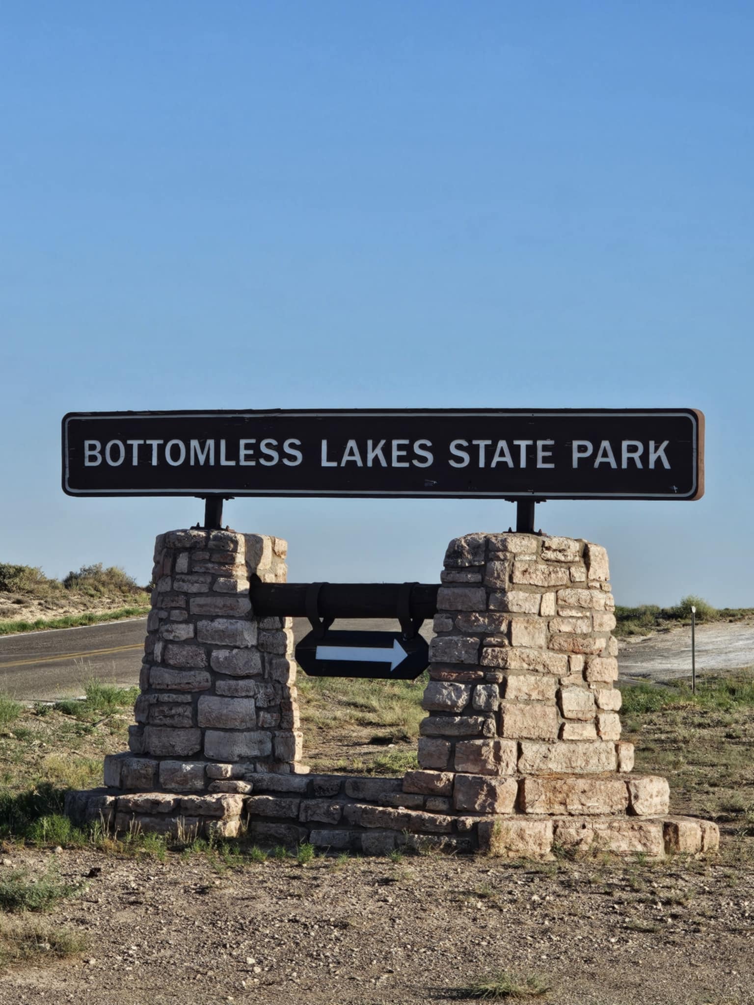
New Mexico's first state park is also one of its most surprising. Bottomless Lakes is a series of nine sinkholes formed when underground caves collapsed, leaving vivid blue-green pools fed by artesian springs sitting in the middle of the Chihuahuan Desert — twelve miles east of Roswell, which you would never guess from looking at them.

The red bluffs rising above the water, the crystal-clear pools, the boardwalk winding through the wetland at sunset, the stone observation tower, the spring-fed channels cutting through tall reeds — it is a genuinely stunning oasis that has no business being where it is. Reecee waded in the shallows while the sky turned orange and the sinkhole pools reflected the whole thing back.

The name comes from cowboys who tried to measure the depth with lariats tied together and couldn't find the bottom. They were wrong — the deepest lake is about 90 feet — but the legend stuck, and the name fits the feeling of the place.

Bottomless Lakes State Park, Roswell, New Mexico. LOVING LIFE HAVING FUN at the bottom of the desert.

Bottomless Lakes State Park, Roswell, New Mexico · 27 photos

Showing 4 of 27 photos

Sitting Bull Falls, Carlsbad, New Mexico

Map

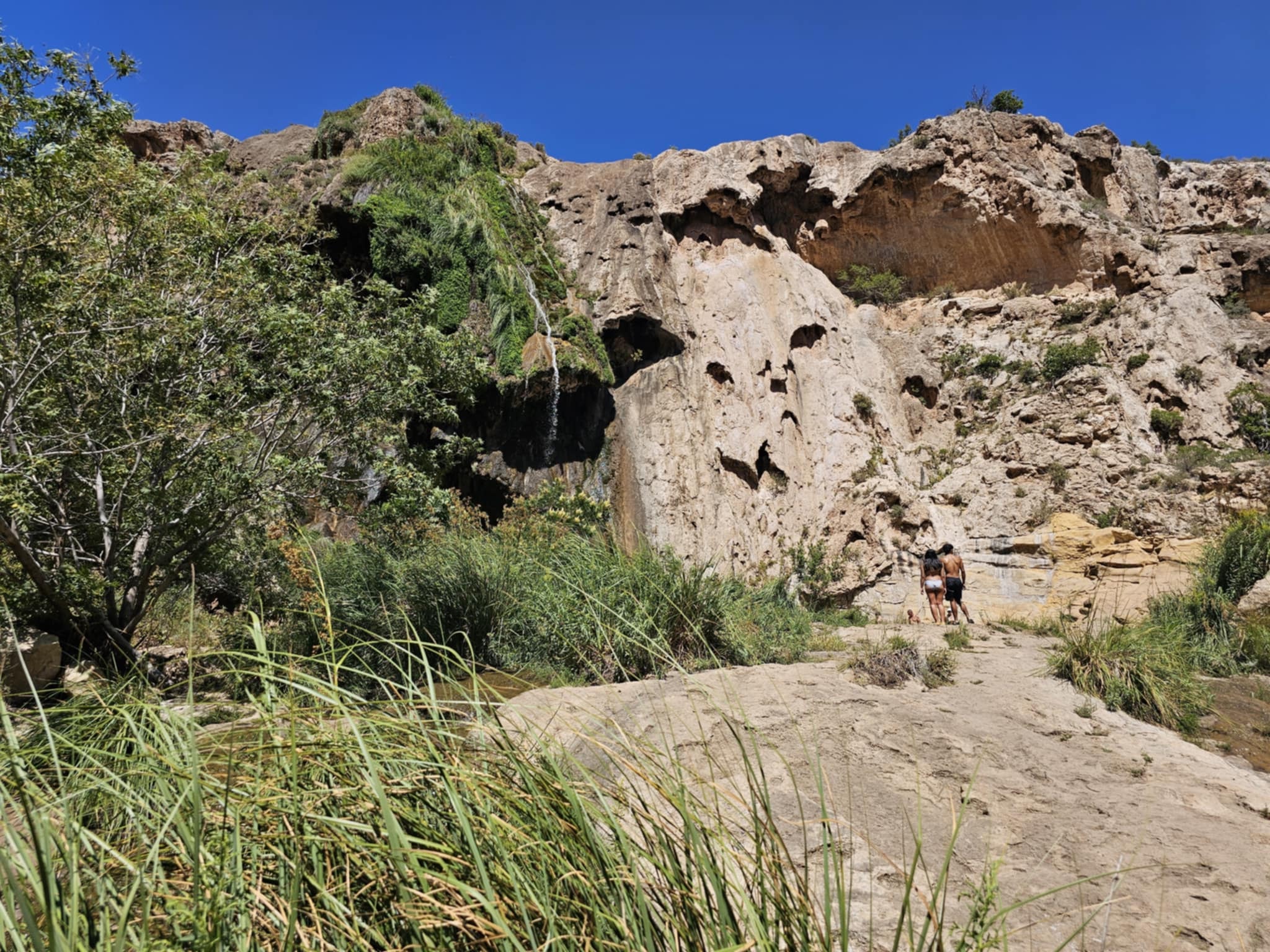
Sitting Bull Falls is a 150-foot spring-fed waterfall dropping into a pool in the middle of the Chihuahuan Desert, 42 miles west of Carlsbad. That sentence should not be possible, and yet here it is — moss-covered ledges, cave openings in the canyon walls, crystal-clear water winding through flat limestone rocks, and ferns growing in the mist where the water hits the pool. The desert is right there on the other side of the canyon rim. The contrast is genuinely disorienting.

Joe and Tina explored every inch of the canyon floor with Zero and Reecee — through the cave passages, along the stream, up to the ledges where the water seeps through the rock face. Reecee and Zero both found the stream and made their own decisions about it, which is the correct response. The canyon is short but dense with things to look at, and the light changes constantly as it moves through the rock walls.

The Lincoln National Forest manages the site and it is free to visit. The drive in through the Guadalupe Mountains is worth it on its own — high desert scrub giving way to juniper and piñon, the canyon appearing suddenly from the flat landscape.

Sitting Bull Falls, Carlsbad, New Mexico. LOVING LIFE HAVING FUN where the desert hides a waterfall.

Sitting Bull Falls, Carlsbad, New Mexico · 38 photos

Showing 4 of 38 photos

Carlsbad Caverns National Park, Carlsbad, New Mexico

Map

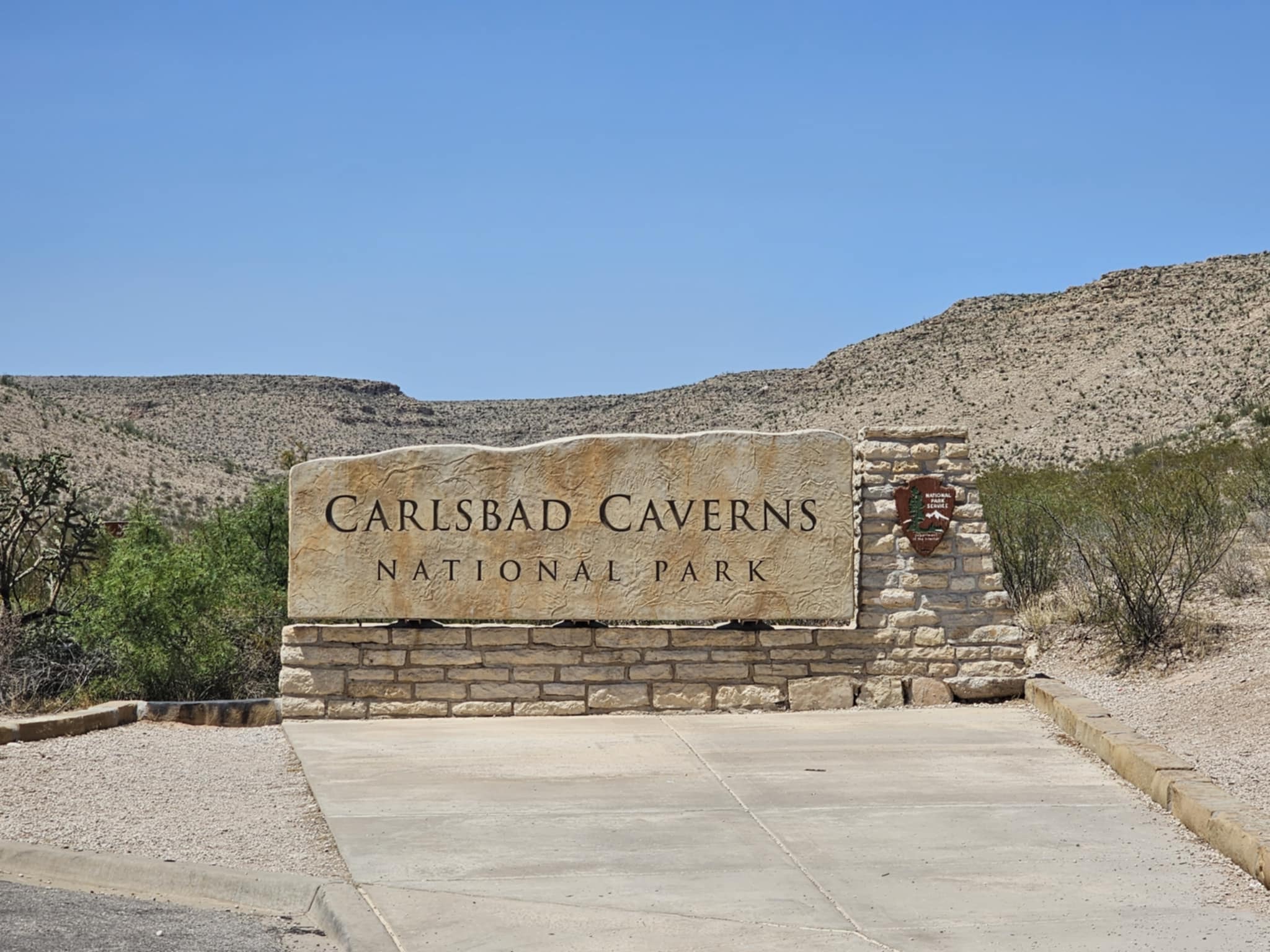
Carlsbad Caverns National Park sits in the Guadalupe Mountains of southeastern New Mexico, and it is one of those places that makes you feel like you have been let in on a secret the surface world has been keeping for 250 million years. Over 100 caves carved into ancient Permian reef limestone, and the one you walk into first — the natural entrance — drops you into a passage so wide and dark that your brain genuinely struggles to process the scale of it.

The natural entrance descent is the right way to start. You walk down into the earth on a paved trail that spirals into the cave mouth, the temperature dropping with every step, the light fading until the only thing ahead of you is the glow of the path lights and the sound of your own footsteps echoing off walls you cannot see the top of. By the time you reach the bottom, you are 750 feet underground and standing at the edge of the Big Room — 8.2 acres of cave floor, the largest natural underground chamber in North America. The Hall of Giants alone, with its floor-to-ceiling stalagmites rising 60 feet, is worth the entire drive to Carlsbad.

The formations are genuinely otherworldly. Soda straw stalactites so thin they look like they should have broken a thousand years ago. Flowstone curtains draped across cave walls like frozen waterfalls. Cave popcorn, cave coral, mirror pools so still they reflect the ceiling perfectly. The Big Room trail is 1.25 miles and you will stop every thirty feet.

Shelby and Ben were traveling through the area at the same time, which made the whole thing better. There is something about exploring a place this ancient and this strange with people you love — the four of us walking the Big Room together, pointing at formations, taking photos that will never fully capture what it actually looks like in person. The Carlsbad Caverns National Park bat flight at dusk, when hundreds of thousands of Brazilian free-tailed bats spiral out of the natural entrance at sunset, is its own separate event worth timing your visit around.

Carlsbad Caverns National Park, Carlsbad, New Mexico. LOVING LIFE HAVING FUN 750 feet underground.

Carlsbad Caverns National Park, Carlsbad, New Mexico · 69 photos

Showing 4 of 69 photos

Alamogordo, New Mexico

Map

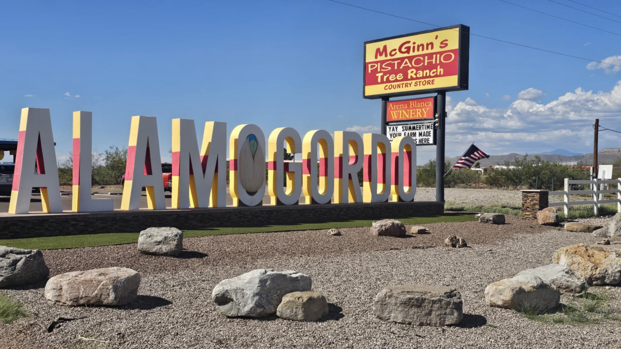
Alamogordo sits at the base of the Sacramento Mountains with White Sands glowing on the horizon and a giant pistachio the size of a small building welcoming you to town. That is not a metaphor. McGinn's PistachioLand has a 30-foot concrete pistachio out front and a gift shop full of pistachio brittle, pistachio wine, and pistachio everything — and we bought all of it. The Brinkley Z3400 parked at the KOA with the Sacramento Mountains filling the entire back window, which is the kind of campsite backdrop that makes you sit outside longer than you planned.

The drive up into the Sacramento Mountains on US-82 is one of those roads that earns its own mention. You leave the Chihuahuan Desert floor at 4,300 feet and climb through piñon and juniper into ponderosa pine forest, past the old Sacramento Mountains homesteads and the roadside concrete teepee that has been confusing travelers for decades. The Tularosa Basin spreads out below you and White Sands appears as a white smear on the desert floor — you can see the whole thing from up there, which makes it feel even more impossible than it already does.

Shelby and Ben were traveling through at the same time, which made the whole stop better. The four of us hit McGinn's together, did the pistachio photo op with the giant nut, and drove the Sacramento Mountains road with the windows down. There is something about exploring a place with people you love that makes every detail stick — the smell of the pines, the drop-off on the canyon side of the road, the moment White Sands comes into view below.

Alamogordo, New Mexico. LOVING LIFE HAVING FUN at the base of the Sacramentos.

Alamogordo, New Mexico · 16 photos

Showing 4 of 16 photos

White Sands National Park, Alamogordo, New Mexico

Map

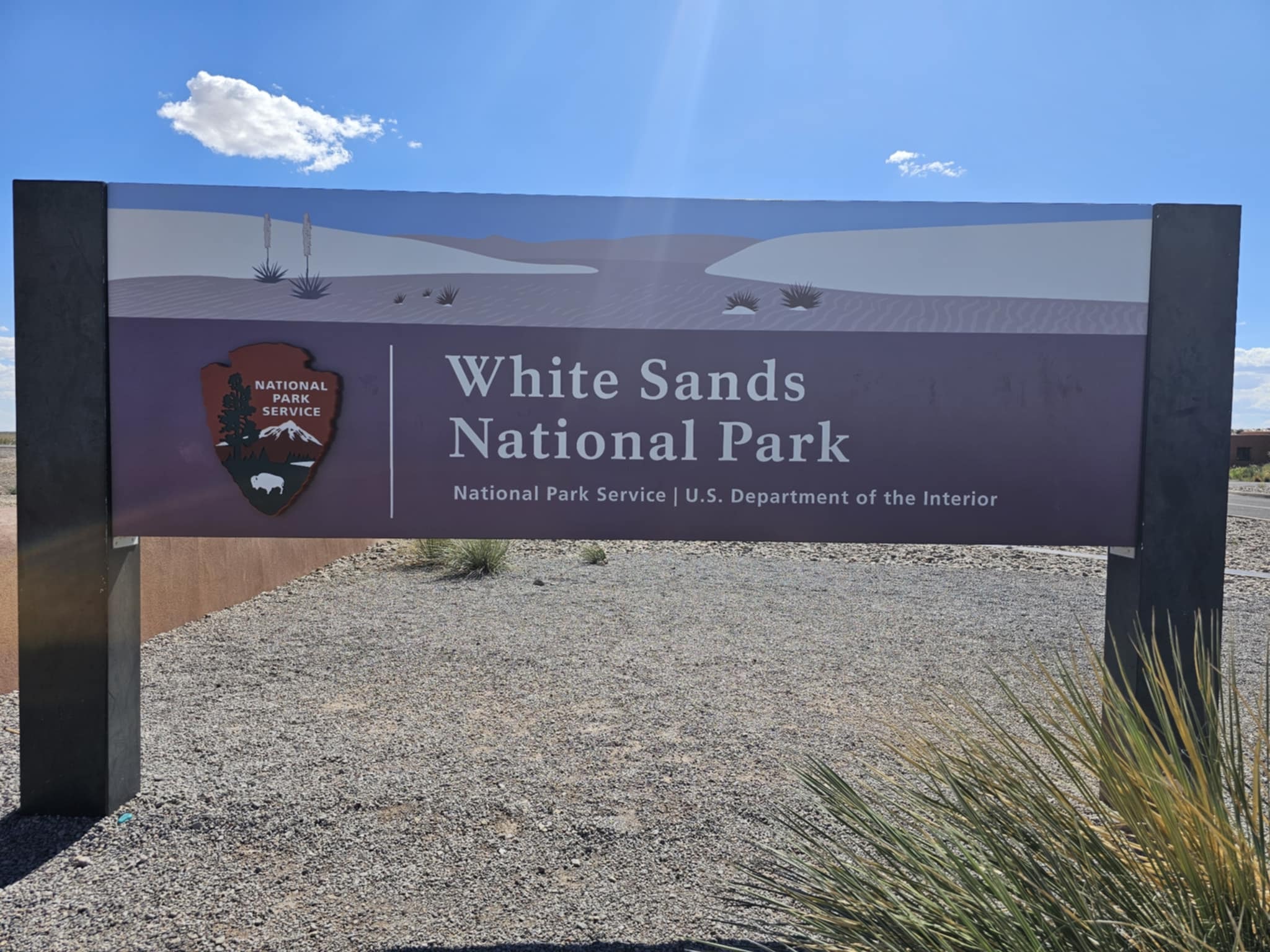
White Sands National Park is one of our favorite places on the planet, and we keep coming back because it is never the same place twice. The light changes everything here — the same 275 square miles of pure white gypsum dunes looks completely different at sunrise, at midday, at golden hour, and at dusk. The Chihuahuan Desert surrounds it on every side, and then you walk into this and the world turns white and silent and completely impossible.

The dunes themselves are unlike anything else in the American Southwest. Gypsum sand — not quartz, not silica — stays cool even in summer heat. It squeaks under your feet. It photographs like snow but feels like powder. The yucca plants that survive here do it by growing their roots faster than the dunes can bury them, which is the kind of detail that makes you stop and think about what it takes to exist in a place like this.

Jason and Delia have joined us here with Kodi and Lucy, and watching four dogs absolutely lose their minds running across the white dunes at sunset is one of those memories that does not fade. Reecee and Zero treat every visit like it is the first time they have ever been allowed to run — full speed, ears back, paws kicking up white powder, completely unhinged in the best possible way. The dogs at White Sands are a whole separate experience from the landscape, and somehow both are happening at the same time.

The sunsets here are in a category of their own. The white dunes catch the last light and hold it — gold, then orange, then pink, then a blue-gray that feels like the whole desert is exhaling. If you time it right, you are still on the dunes when the color peaks and the mountains go dark behind you.

White Sands National Park, Alamogordo, New Mexico. LOVING LIFE HAVING FUN on the most beautiful desert floor in America.

White Sands National Park, Alamogordo, New Mexico · 80 photos

Showing 4 of 80 photos

Robledo Slot Canyon, Las Cruces, New Mexico

Map

Robledo Slot Canyon is one of the Southwest's best-kept secrets, and we keep coming back to prove it. Tucked inside the Organ Mountain-Desert Peaks National Monument just outside Las Cruces, it does not look like much from the trailhead — a quiet desert wash, a few cairns, some volcanic rock and scrub. Then the walls close in and the canyon takes over.

The passages are water-carved over millions of years into layered sandstone and volcanic tuff, and the formations are genuinely unlike anything else in New Mexico. Scalloped walls that look like they were shaped by hand. Teardrop sky openings that frame a perfect slice of blue above you. Twisted pillars, warm golden corridors, dark S-curves where the light barely reaches the floor. The canyon is short but dense — you stop every ten feet.

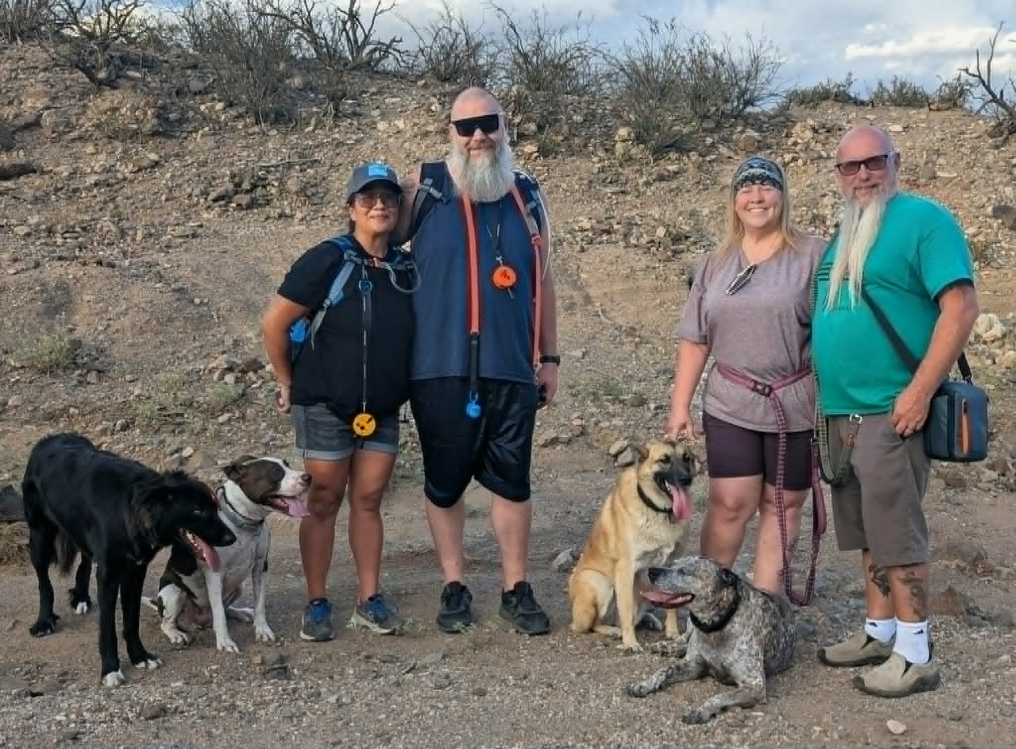
Jason and Delia have joined us here more than once, and every visit hits differently depending on the light and the time of day. The full crew — Joe and Tina, Jason and Delia, Zero and Reecee, Kodi and Lucy — has made this canyon a recurring stop on the Las Cruces circuit. Four dogs in a slot canyon is exactly as chaotic and wonderful as it sounds. Reecee and Lucy treat every narrow passage like a personal challenge. Zero and Kodi take the philosophical approach and wait to see what the humans decide.

The hike in is easy, the canyon is free, and almost nobody knows it exists. That is the whole pitch.

Robledo Slot Canyon, Las Cruces, New Mexico. LOVING LIFE HAVING FUN in one of the most underrated canyons in the Southwest.

Robledo Slot Canyon, Las Cruces, New Mexico · 70 photos

Showing 4 of 70 photos

The Hatch Chile Festival, Hatch, New Mexico

Map

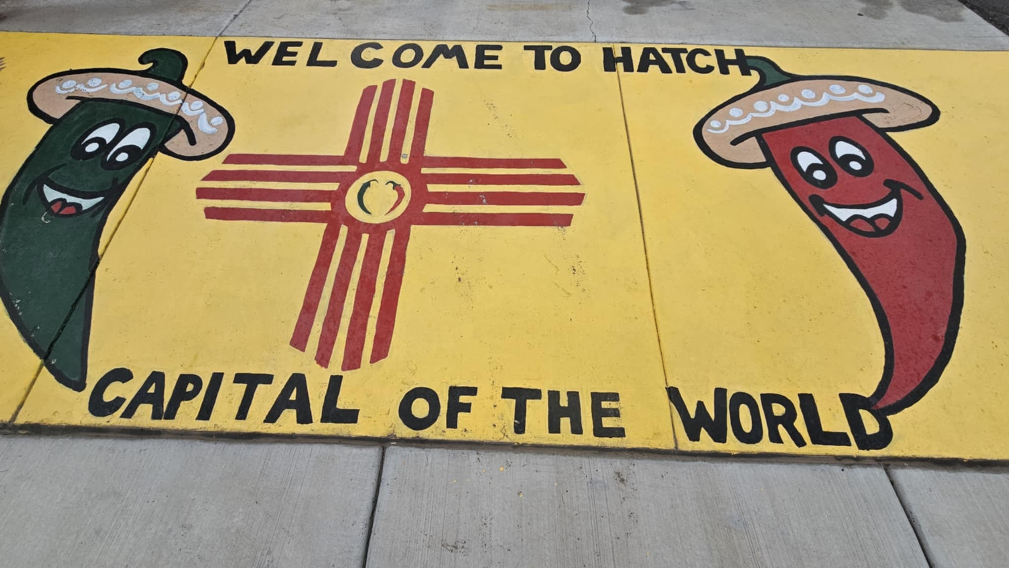
The Hatch Chile Festival was supposed to be a one-time bucket list check. We showed up for Labor Day weekend, stood in the smoke of a dozen rotating drum roasters, ate green chile on everything, and drove home with a cooler full of freshly roasted Hatch green. That was it. We were done.

Except we went back the next year. And the year after that. And now it is just what we do every Labor Day — Jason and Delia are in, the Brinkley Z3400 is pointed south, and the only question is how many pounds of roasted chile we are hauling home this time. Ginger and Dennis even joined us once, which is how you know this thing has gravity.

Hatch, New Mexico is a farming community of about 1,600 people that produces some of the most sought-after chile peppers in the world. The Hatch Valley's combination of high desert elevation, alkaline soil, and intense summer sun creates a flavor profile that chile growers elsewhere have spent decades trying to replicate and cannot. Every year over Labor Day weekend, up to 30,000 people descend on this tiny town for the Hatch Chile Festival — one of the most legitimately delicious food events in the American Southwest.

The roasters are the first thing you hear. Rotating drum roasters the size of small cars, running full blast, filling the air with the smell of charring chile skin from the moment you turn off the highway. The ristras — long strings of dried red chiles — hang from every surface: storefronts, vendor booths, fence posts, the sides of buildings. You walk through a canopy of them at the main market and it is genuinely one of the more beautiful things you will see at a food festival anywhere.

Sparky's is the anchor stop. The burger and green chile combination is the reason people make the drive from Albuquerque on a Tuesday in July just to eat lunch. The rooftop sculptures and vintage car collection out front are their own attraction. Daddy's Farm has a T-Rex. There is a giant Uncle Sam. There are alien figurines in every gift shop because this is New Mexico and that is just how it works. The McDonald's here is the only one in the world with a chile pepper on the sign.

We buy the roasted green chile by the bag, freeze it, and ration it through the winter like it is currency. Because it basically is.

The Hatch Chile Festival, Hatch, New Mexico. LOVING LIFE HAVING FUN at the most delicious annual tradition in the Southwest.

The Hatch Chile Festival, Hatch, New Mexico · 38 photos

Showing 4 of 38 photos

Truth or Consequences, New Mexico

Map

In 1950, a small New Mexico town called Hot Springs made a deal with a radio game show host: rename the city after his program and he would broadcast an episode from there. The town voted yes. Hot Springs became Truth or Consequences, and it has been one of the most interesting places in New Mexico ever since. The name alone earns the stop.

T or C keeps pulling us back — which is what everyone calls it, because nobody has time to say the whole thing. South Monticello Point campground on Elephant Butte Lake is one of our favorite base camps in the region — the lake views, the open desert, the sunsets over the water — but it is not the only way in. The town is close enough from several directions that you can set up wherever suits you and make the short drive in. The town sits on the Rio Grande in the middle of the Chihuahuan Desert, and it runs on geothermal water that has been bubbling up from underground for longer than anyone can measure. The whole town smells faintly of minerals. That is not a complaint.

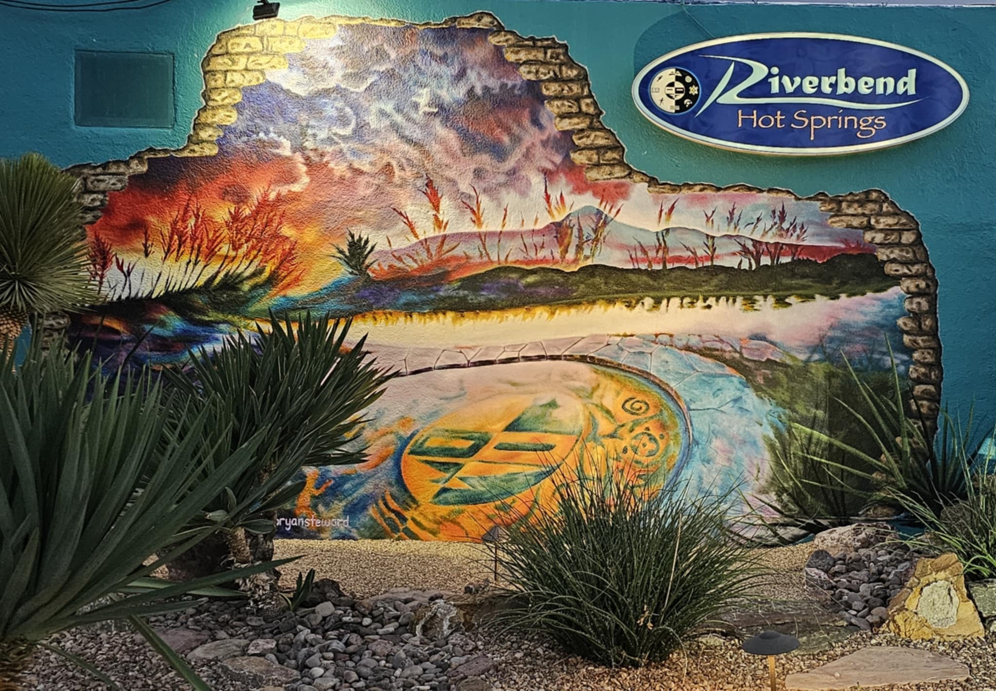
Riverbend Hot Springs is the anchor stop. Natural geothermal pools right on the bank of the Rio Grande — stone tubs, kiva pools, a private suite with its own soaking pool and a direct view of the river and the mountains behind it. The water comes out of the ground at around 107 degrees and flows into the pools at whatever temperature the operators dial in. At night, the stone tubs are lit from below and the Rio Grande moves past in the dark and the mountains are just a silhouette and it is genuinely one of the most peaceful things we have done on the road.

There is also an alligator gar in the river. Nobody mentioned this until we were already in the water. The gar is apparently a regular. We have made our peace with it.

The Love Shack bar is worth a stop. The Pampas restaurant has a deck over the river that earns its own visit. The town is full of artists and hot spring devotees and people who drove through once and never left, which is a specific kind of New Mexico energy that T or C has perfected.

Truth or Consequences, New Mexico. LOVING LIFE HAVING FUN in the most uniquely named city in America.

Truth or Consequences, New Mexico · 40 photos

Showing 4 of 40 photos

Tico Time River Resort, Aztec, New Mexico

Map

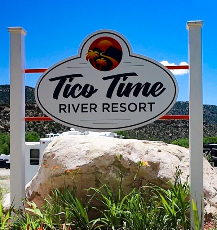
Tico Time River Resort sits on 74 acres along the Animas River in Aztec, New Mexico, and it operates on a frequency that is genuinely hard to explain until you are standing on the suspension bridge watching the river move underneath you. The name comes from Costa Rican pura vida culture — the idea that time slows down, the river is right there, and whatever was urgent an hour ago is suddenly not. The Four Corners version of that is exactly what this place delivers.

The resort has a sandy beach, kayaks on the river, a stage and performance tower, colorful pavilions, a footbridge that sways just enough to make you pay attention, and a layout that feels more like a festival grounds than a campground. The Animas River runs cold and clear along the property edge and the whole place glows at night when the sign lights up and the current catches the reflection.

Trip and Tiffany joined us for this one, which made it better. There is something about showing a place like Tico Time to people who have never seen it — watching the moment it clicks for them, the suspension bridge, the river, the whole vibe — that makes you appreciate it all over again. The four of us spent the kind of afternoon that does not need a plan: the river, the chairs, the bridge, the light changing on the water.

Tico Time River Resort, Aztec, New Mexico. LOVING LIFE HAVING FUN on the Animas.

Tico Time River Resort, Aztec, New Mexico · 13 photos

Showing 4 of 13 photos

Catwalk Recreation Area, Glenwood, New Mexico

Map

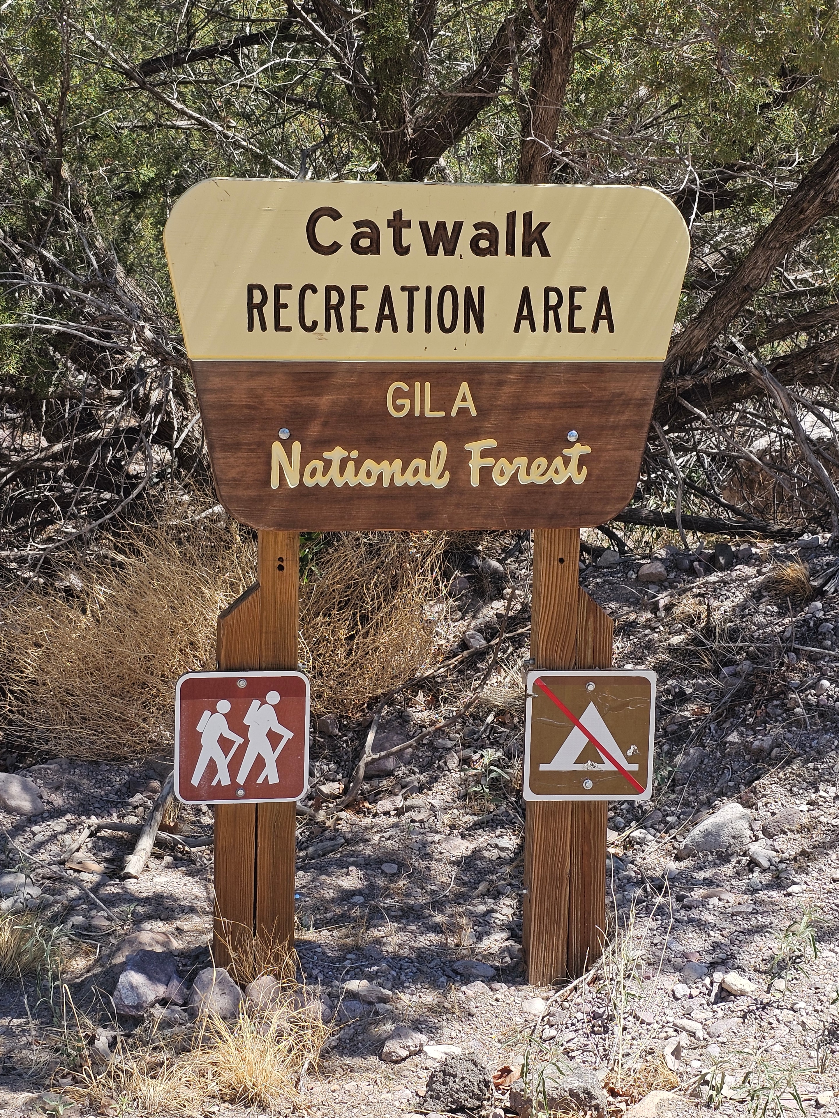
The Catwalk Recreation Area in Glenwood, New Mexico is one of the most genuinely surprising day hikes in the entire Southwest — and almost nobody outside the region knows it exists. Tucked into the Gila National Forest at the end of a short drive from Glenwood, it sits at the mouth of Whitewater Canyon, and the moment you step onto the trail you understand why it earned the name.

The walkway itself is built along steel water pipes that were originally laid in the 1893 to supply a gold and silver mining mill deep in the canyon. The pipes are still there, anchored to the sheer canyon walls with bolts that have been embedded in the rock for over a century. The trail follows them through passages so narrow the walls are close enough to touch on both sides, over canyon pools so clear you can see every rock on the bottom, under a massive overhang that blocks out the sky, and past water seeps that run down the cliff face year-round. It is a short hike — about two miles round trip — but you stop every thirty feet.

Whitewater Creek runs the length of the canyon and the dogs were in it constantly. Reecee found every pool. Zero took the philosophical approach and waded in up to his knees and called it good. The creek is cold, clear, and moving fast enough in places to make the dogs work for it, which is exactly the kind of afternoon they live for.

The Catwalk is fully dog-friendly — leashes required, but dogs are welcome on the trail and in the water, and the canyon is shaded and cool even in summer. If you are traveling with dogs and looking for a hike that rewards everyone in the crew equally, this is the one.

Catwalk Recreation Area, Glenwood, New Mexico. LOVING LIFE HAVING FUN on the original catwalk.

Catwalk Recreation Area, Glenwood, New Mexico · 37 photos

Showing 4 of 37 photos

Elephant Butte Lake State Park, Truth or Consequences, New Mexico

Map

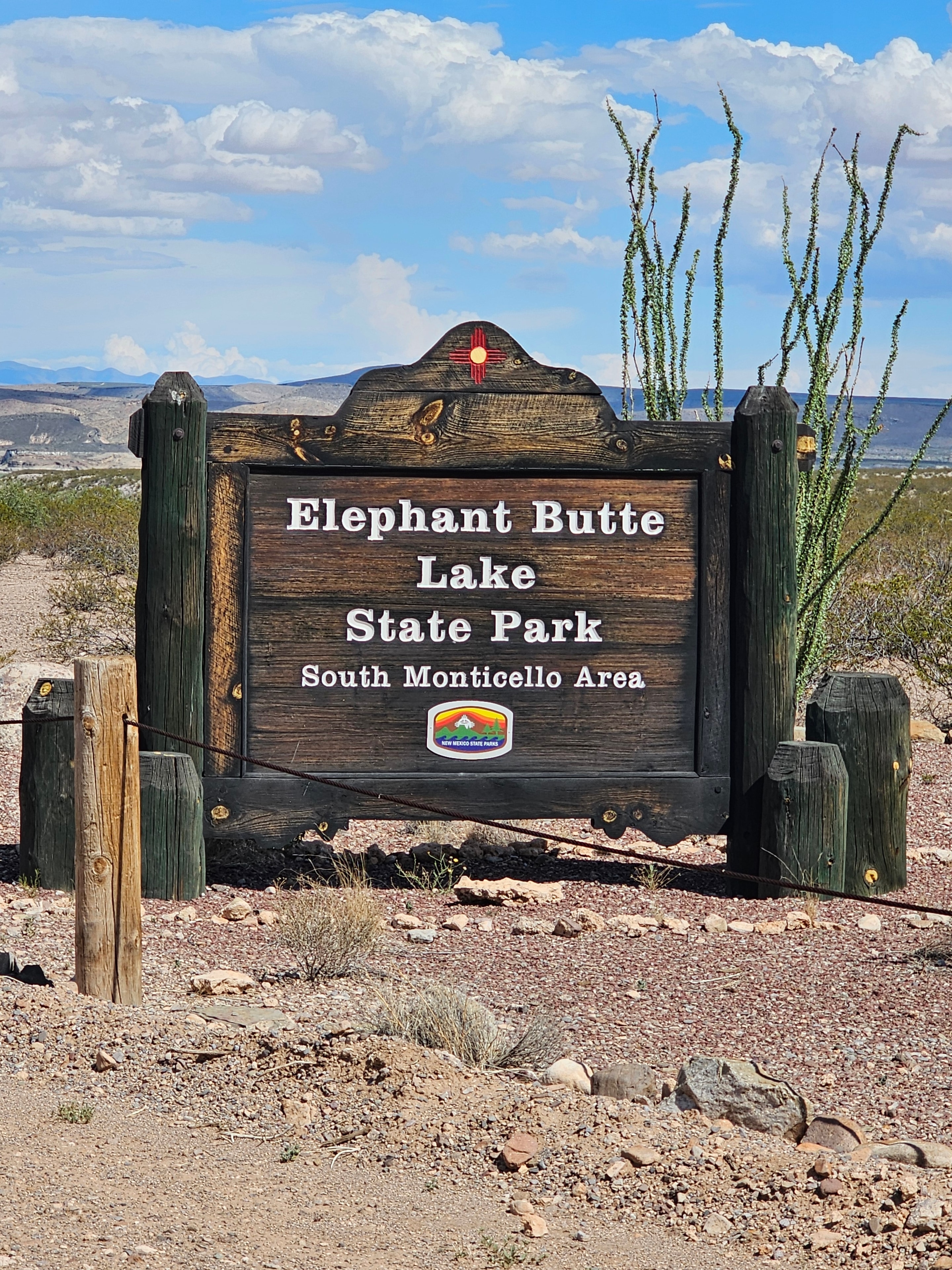
Elephant Butte Lake State Park surrounds New Mexico's largest reservoir — and yes, the name is exactly what it sounds like. The park is massive, the sites are generous, and the Brinkley Z3400 fits with only a little jiggle to get in. Most spots handle 40 feet and up without a problem. Water and electric hookups, dump station on the way out. It is one of our favorite parks in the state.

Here is the honest truth about the lake: in recent years Elephant Butte has been sitting somewhere between one and six percent capacity. The water is there — it is just a short drive from the park to reach it. What that means for your campsite view is not a beachfront lake panorama but a wide, lush green prairie stretching out where the water used to be. It is genuinely beautiful in its own way, and the lightning storms that roll across that open desert at dusk are some of the most dramatic skies we have ever watched from a camp chair.

The other thing the low water level gives you: the campground is almost entirely empty. We have had the whole park to ourselves — literally — more than once. No crowds, no noise, just the Brinkley, the dogs, the prairie, and the sky. For a state park this close to two of our favorite New Mexico destinations, that kind of solitude is a secret worth keeping.

Elephant Butte makes an excellent base camp for Truth or Consequences seven miles to the south and Hatch to the southwest. But it is also a destination on its own — kayaking and paddleboarding when the water is accessible, lightning storms and sunsets when it is not, and the kind of quiet that is getting harder to find.

Elephant Butte Lake State Park, Truth or Consequences, New Mexico. LOVING LIFE HAVING FUN on the most peaceful prairie in the Southwest.

Elephant Butte Lake State Park, Truth or Consequences, New Mexico · 20 photos

Showing 4 of 20 photos

Three Rivers Petroglyph Site, Three Rivers, New Mexico

Map

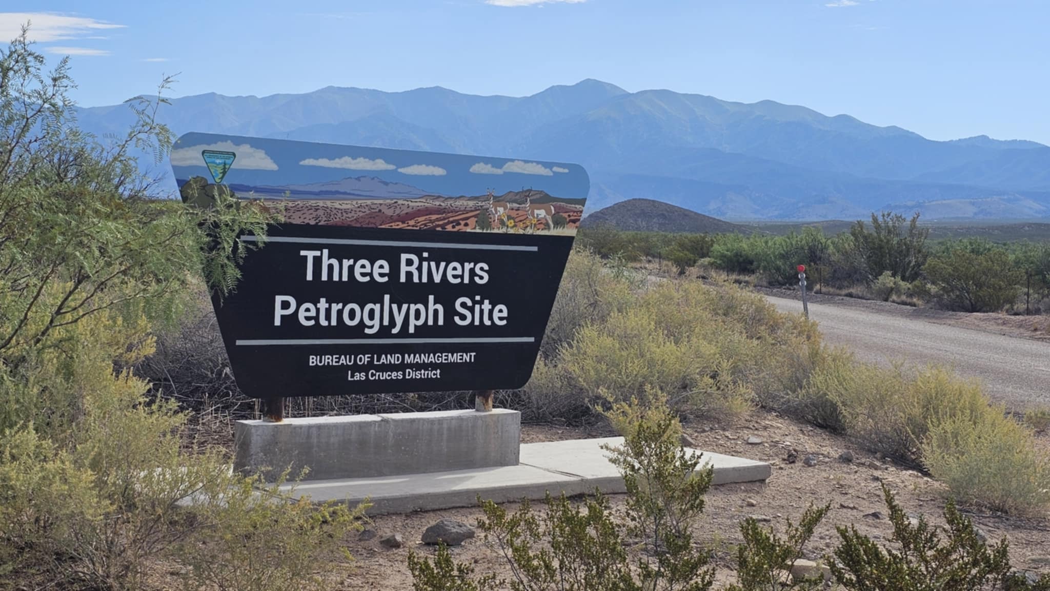
Three Rivers Petroglyph Site sits on a low basalt ridge in the Tularosa Basin, midway between Tularosa and Carrizozo, and it holds one of the most significant concentrations of rock art in the American Southwest. Over 21,000 petroglyphs were carved here by the Jornada Mogollon people between roughly 1000 and 1400 AD — and the sheer density of them across a mile-long trail through a boulder field is something you genuinely cannot prepare for until you are standing in the middle of it.

The images cover everything. Bighorn sheep with curved horns. Human figures with elaborate headdresses. Serpents winding across flat rock faces. Concentric circles and sun wheels and spirals that appear on boulder after boulder. Geometric patterns that look like maps or calendars or something else entirely. Faces. Hands. Animals that are clearly identifiable and animals that are not. And then symbols that nobody has fully decoded — marks that the Jornada Mogollon left here for reasons that are still being studied and debated a thousand years later.

The trail climbs gently through the boulder field and the petroglyphs just keep coming. You stop at one boulder and there are three more behind it. You crouch down to look at a spiral at knee height and notice a bighorn sheep above your head you almost missed. The light matters — early morning or late afternoon, when the sun hits the rock at an angle, the carvings jump out in a way that midday flat light does not deliver.

This is one of those places that earns a full morning. Not a quick stop on the way somewhere else — a full morning, slow pace, no rush. The Sacramento Mountains are visible to the east the whole time, and the Tularosa Basin stretches out wide and quiet in every direction. It is free to visit, easy to access, and almost nobody knows it exists.

Three Rivers Petroglyph Site, Three Rivers, New Mexico. LOVING LIFE HAVING FUN among 1,000-year-old messages carved in stone.

Three Rivers Petroglyph Site, Three Rivers, New Mexico · 53 photos

Showing 4 of 53 photos

Mogollon, New Mexico

Map

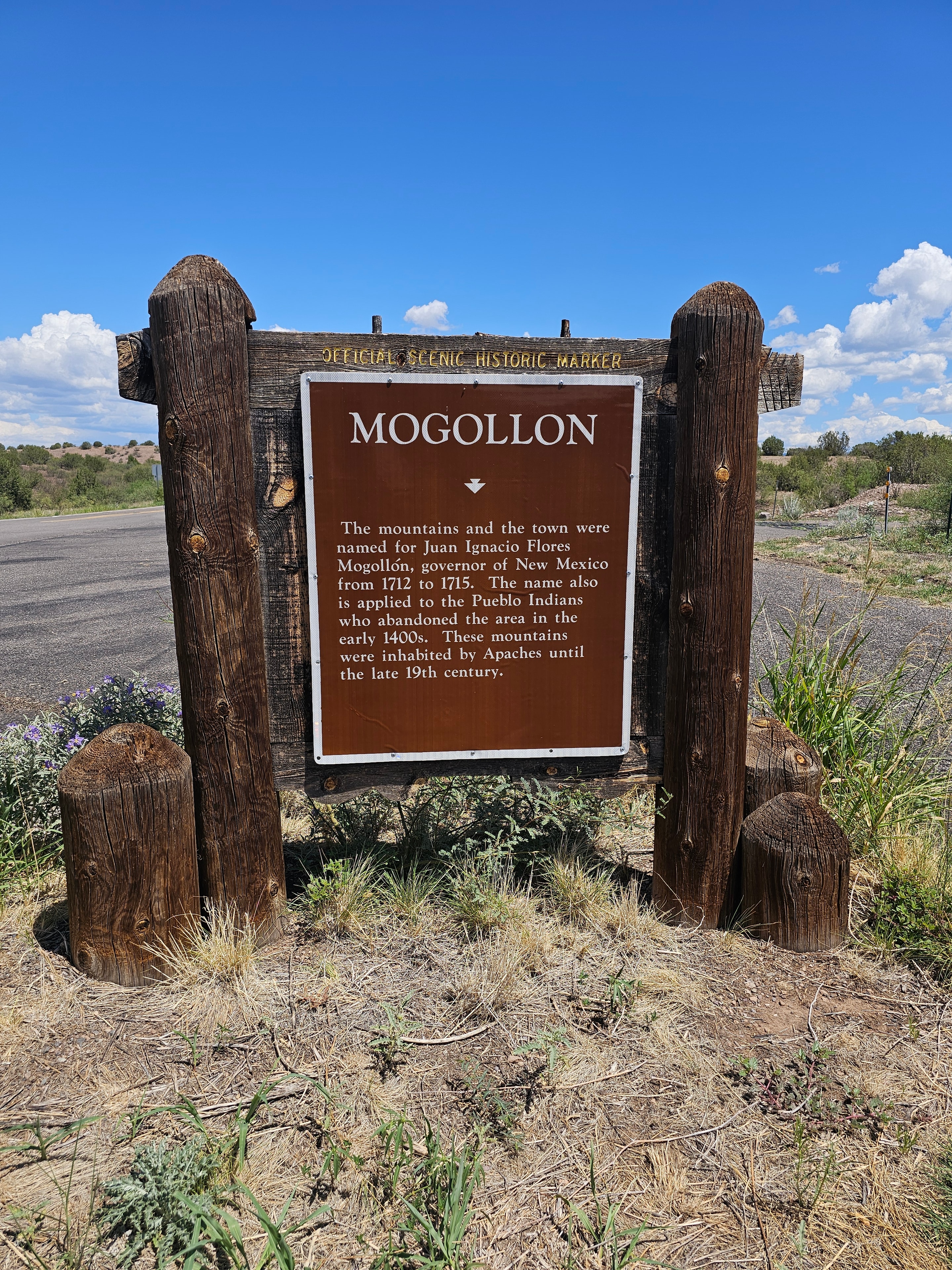
Getting to Mogollon is part of the experience — and we mean that in the most honest possible way. Highway 159 out of Glenwood climbs into the Mogollon Mountains on a road that is one lane wide in most places, carved into the side of a cliff, with blind curves that come at you faster than you expect and no guardrails between you and a very long drop. The Brinkley Z3400 stayed parked at the Catwalk trailhead. This is a truck-and-nerve situation, not a fifth wheel situation. If you are not comfortable with that kind of road, there is no shame in turning around. If you are, keep going — because what is waiting at the top is worth every white-knuckle mile.

Mogollon was a booming silver and gold mining town in the late 1800s. At its peak it had thousands of residents, multiple saloons, a full main street, a post office, and the kind of rough frontier energy that came with serious money being pulled out of the mountains. Then the mines played out, the people left, and the town slowly went quiet. What remains today is one of the most atmospheric ghost towns in New Mexico — a handful of permanent residents, a seasonal museum, a couple of art galleries, a bookstore, and the Purple Onion Cafe serving lunch to anyone who made it up the road.

Walking the main street feels like the town just paused. The old general store still has its sign. The buildings that are still standing wear their age without apology — weathered wood, rusted metal, paint that gave up decades ago. The ones that didn't make it are collapsed into themselves in the most photogenic way possible, beams and rooflines folded down into the hillside. The abandoned mine buildings above town are visible from the road, clinging to the slope like they are deciding whether to stay.

We had lunch at the Purple Onion. Burger and watermelon. It was one of those meals that has no business being as good as it was — except it absolutely does, because you earned it. Forty-five minutes of white-knuckle mountain road, one lane, blind curves, no guardrails, and then you sit down in a ghost town cafe and a burger arrives that makes the whole drive feel like a reasonable life decision. The watermelon didn't hurt either.

Mogollon, New Mexico. LOVING LIFE HAVING FUN at the end of the sketchiest road in the Gila.

Mogollon, New Mexico · 13 photos

Showing 4 of 13 photos

Santa Fe, New Mexico – Cochiti Lake & Meow Wolf

Map

Base camp was Cochiti Lake State Park, tucked into the high desert between Santa Fe and Albuquerque, surrounded by the Jemez Mountains and the Sangre de Cristos. It is absolutely beautiful and absolutely in the middle of nowhere. The campground has water and electric hookups, which is a win, but fair warning: at 40 feet plus, the Brinkley Z3400 can fit in less than half the sites. Do your homework before you pull in. The ones that work are worth it. The lake is calm, the skies are enormous, and the silence at night is the kind that actually resets you.

Then we drove into Santa Fe for Meow Wolf — and we had no idea it was going to be personal.

The House of Eternal Return is an immersive art experience unlike anything else on the planet — a sprawling, multi-dimensional installation built inside a former bowling alley. You walk into what looks like a Victorian house and then reality dissolves. Portals open inside refrigerators. Staircases lead to impossible rooms. Neon corridors stretch into other dimensions. Every surface is art, every corner hides a story, and the whole thing is built around a fictional family whose home has been fractured across time and space.

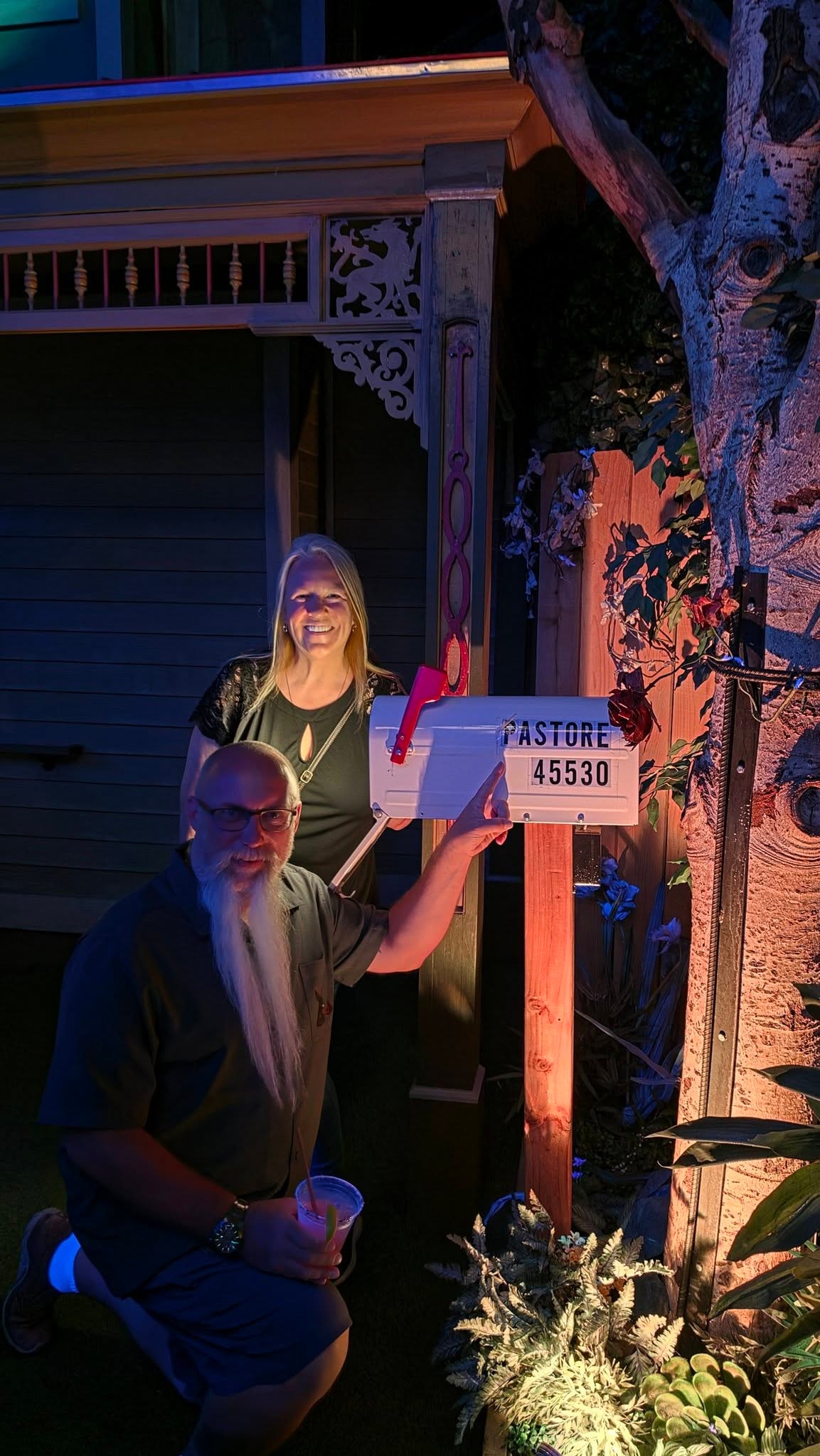
That family's name? The Pastore Family.

We are not making this up. The central mystery of the entire House of Eternal Return revolves around the Pastore Family — their disappearance, their fractured timeline, their story scattered across every room. Joe and Tina Pastore walked into Meow Wolf Santa Fe and found themselves written into the walls.

Random coincidence? A glitch in the simulation? Foreshadowing of an alternate past or future reality we haven't caught up to yet? We're going with all three.

LOVING LIFE HAVING FUN — camped in the middle of nowhere, and apparently starring in a Meow Wolf installation.

Santa Fe, New Mexico – Cochiti Lake & Meow Wolf · 37 photos

Showing 4 of 37 photos